
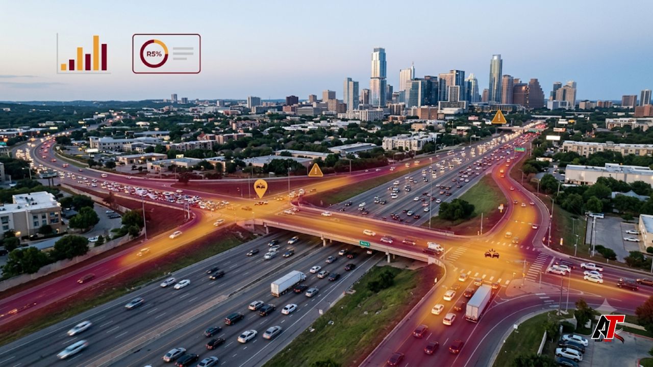
Austin is known for rapid growth, major technology employers, live music, and an expanding regional workforce. It is also a city where thousands of residents and visitors depend on busy highways and wide arterial roads every day. Reviewing Austin car accident statistics helps commuters look beyond general traffic frustration and understand where serious risks are concentrated, when dangerous crashes are more likely to occur, and which driving behaviors repeatedly contribute to severe outcomes.
The latest numbers show that risk is not spread equally. A relatively small part of Austin’s street network carries a large share of fatal and serious-injury crashes. Many commuters repeatedly use these same highways, intersections, commercial corridors, and suburban connectors, where heavy traffic, speed, lane changes, and difficult turns overlap.
This article explains what recent crash trends reveal, identifies the types of Austin roads that deserve extra caution, and offers practical steps for safer commuting. Readers looking for more research-led digital and public-interest content can also explore aelftech.com USA.
What the Latest Austin Crash Numbers Show
Preliminary City of Austin data for 2025 recorded 99 traffic fatalities and 301 serious injuries. The fatality total was slightly higher than in 2024, but serious injuries fell by 28 percent. When fatalities and serious injuries are considered together, the most severe crashes decreased by about 22 percent. This is meaningful progress, especially compared with 2022, when Austin recorded 117 deaths and 540 serious injuries.
Austin’s population-based rate improved from about 49.3 fatal and serious injuries per 100,000 people in 2024 to approximately 37.9 in 2025. However, 99 deaths still represent a serious public-safety problem, and safety gains are not distributed evenly across every road or neighborhood.
The most useful lesson is therefore not simply that Austin is getting safer or more dangerous. The lesson is that severe crashes are concentrated. Austin’s High-Injury Network represents only about 8 percent of the city’s street system but contains nearly 60 percent of fatal or serious-injury crashes across transportation modes. For commuters, this means route design and roadway type can be as important as the total number of crashes citywide.
Why Certain Austin Commuter Routes Carry More Risk
Crash risk rises when exposure and road complexity overlap. A road may carry a large number of vehicles without producing an unusual number of severe crashes. Problems become more serious when high traffic volume is combined with fast travel speeds, short merge distances, construction, large intersections, poor lighting, heavy truck movement, or frequent pedestrian and bicycle activity.
Austin’s roadway system also has divided ownership. Major state-owned facilities move a large share of regional traffic, and the City of Austin reports that roughly 65 to 75 percent of local traffic fatalities occur on state-owned roads. These facilities often serve long-distance trips and operate at higher speeds than neighborhood streets. That makes them efficient regional routes, but it also increases the force of a collision when a driver makes an error.
1. Interstate 35 and Other High-Speed State Corridors
Interstate 35 is one of Austin’s most important north-south commuter routes. It carries local drivers, regional commuters, freight vehicles, tourists, and through traffic at the same time. Risk can increase around entrance and exit ramps, downtown lane shifts, construction zones, sudden congestion, and locations where traffic moves from highway speed to stop-and-go conditions. Rear-end crashes, sideswipes, and multi-vehicle collisions become more likely when drivers follow too closely or make last-second lane changes.
Other high-speed state routes, including portions of U.S. 183, U.S. 290, State Highway 71, and Loop 1 or MoPac, present similar commuter challenges. Long-distance speed, complex interchanges, airport traffic, commercial vehicles, and peak-hour merging can create dangerous combinations. These roads are not automatically unsafe, but mistakes on them can have more severe consequences because vehicles are moving faster.
2. Major Urban Arterials with Mixed Road Users
Austin’s wide urban arterials often combine multiple travel purposes. Roads such as Lamar Boulevard, Burnet Road, Airport Boulevard, and East Riverside Drive carry commuters while also serving businesses, apartments, bus stops, pedestrians, cyclists, and turning vehicles. A driver may move through several lanes of traffic and then face a sudden left turn, a person entering a crosswalk, a bus stopping, or a vehicle leaving a driveway.
These corridors can be especially demanding during morning and evening peaks, but risk is not limited to rush hour. At night, higher travel speeds, reduced visibility, fatigue, and impaired driving may turn an ordinary conflict into a severe crash. Commuters should therefore treat familiar arterial roads with the same attention they would give an unfamiliar highway.
3. Large Intersections and Turning Conflict Zones
Intersections are natural conflict points because traffic streams cross, merge, and turn within a small area. Left-turn crashes can be particularly serious when drivers misjudge the speed of approaching traffic. Right-turn movements may also endanger pedestrians and cyclists when a driver watches for vehicles from the left but fails to check the crosswalk on the right.
The city’s safety evaluations show why intersection design matters. Major intersection projects have been associated with a 38 percent reduction in fatal and serious-injury crashes, while protected intersections have been linked to a 42 percent reduction. A separate left-turn calming pilot at 16 intersections reduced crashes involving left-turning vehicles and pedestrians by 46 percent, with injury crashes falling by 56 percent. These results suggest that dangerous intersections are not fixed conditions; design changes can reduce risk.
4. Fast-Growing South and Suburban Commuter Corridors
Population growth has increased traffic on southern and outer Austin routes such as Slaughter Lane, William Cannon Drive, and roads connecting newer residential areas to employment centers. These corridors may include long blocks, multiple driveways, changing speed limits, school zones, construction, and intersections that were not originally designed for current traffic volumes.
Familiarity can create overconfidence, but fast-growing corridors change often. A new signal, driveway, work zone, or lane configuration can introduce a hazard even when the route feels routine.
Crash Timing Challenges the Traditional Rush-Hour Assumption
Many people assume the most dangerous time to drive is the weekday afternoon rush. Austin data presents a more complicated pattern. Severe crashes have been distributed more evenly across the week than in some cities, with notable late-night concentrations on Thursday, Friday, and Saturday. This pattern suggests that congestion alone does not explain the most serious outcomes.
Heavy rush-hour traffic can produce many low-speed collisions, but late-night roads may allow higher speeds. Darkness, fatigue, alcohol use, reduced transit frequency, and fewer drivers on the road can encourage risky behavior. Commuters working late shifts, attending events, or traveling after dinner should not interpret lighter traffic as lower danger. A less crowded road can still be more severe when speeds rise.
The Driving Behaviors Behind High-Risk Areas
Road design influences exposure, but driver behavior often determines whether a difficult situation becomes a crash. Austin safety reporting repeatedly highlights four major behaviors: impaired driving, speeding, distraction or inattention, and failure to yield.
- Impaired driving reduces judgment, coordination, visual awareness, and reaction time. It is particularly dangerous at night and on high-speed corridors.
- Speeding increases stopping distance and crash force. Even driving at the posted limit may be unsafe during rain, heavy congestion, or poor visibility.
- Distracted driving includes texting, navigation adjustments, eating, and any activity that takes attention away from traffic. A few seconds of distraction can cover a long distance at highway speed.
- Failure to yield commonly appears in left-turn, crosswalk, and intersection crashes. Drivers should actively scan for pedestrians, cyclists, motorcycles, and vehicles that may be hidden by traffic.
A safer commute requires both better infrastructure and driving choices that leave room for human error.
Vulnerable Road Users Face Greater Consequences
Austin’s crash problem affects more than vehicle occupants. Pedestrians, motorcyclists, bicyclists, and e-scooter riders have little physical protection when struck. In 2025, pedestrian deaths improved, falling from 39 to 30, but the total remained substantial. Serious injuries also decreased for motorists, pedestrians, motorcyclists, and bicyclists, while serious injuries among e-scooter riders increased slightly.
Commuters should pay special attention near transit stops, entertainment districts, schools, apartment clusters, and corridors with incomplete sidewalks or long distances between safe crossings. A road that feels manageable from inside a vehicle may be extremely difficult to cross on foot. This is one reason safety analysis must consider all travel modes rather than counting vehicle collisions alone.
How the Vision Zero Approach Uses Crash Data
Austin adopted the Vision Zero initiative in 2015. The core idea is that fatal and serious traffic injuries are preventable, and the transportation system should be designed so that ordinary human mistakes do not lead to death. The approach combines data analysis, street design, speed management, enforcement, education, and community engagement.
The High-Injury Network is central to this work because it directs limited resources toward roads where improvements may prevent the greatest number of severe crashes. Safety projects can include protected turn phases, pedestrian refuge islands, improved lighting, lower speed limits, shorter crossings, protected bike facilities, clearer lane markings, and traffic-calming treatments.
The recent decline in serious injuries suggests that targeted projects can work, but the continued fatality count shows that Austin has not eliminated systemic risk. Coordination is especially important on state-owned roads, where the city does not have complete control over design and operations.
Practical Safety Steps for Austin Commuters
- Check live traffic and construction conditions before leaving, especially when using I-35, U.S. 183, MoPac, U.S. 290, or SH 71.
- Choose the safer route, not only the fastest route. A small time saving may not justify repeated high-speed merges or difficult unprotected turns.
- Increase following distance near work zones, ramps, and stop-and-go traffic. Avoid using the vehicle ahead as your only visual reference.
- Reduce speed before large intersections and actively scan crosswalks, bike lanes, and opposing traffic before turning.
- Keep the phone out of reach or use a driving mode that blocks notifications. Set navigation and audio before entering traffic.
- Use extra caution after dark on Thursday, Friday, and Saturday, when severe crash risk may be influenced by speed, fatigue, and impairment.
- Never drive after drinking or using an impairing substance. Arrange a sober driver, rideshare, taxi, or transit option in advance.
What to Do After a Crash During Your Commute
After a collision, move to a safe location when possible, call 911 if anyone may be injured, and follow emergency instructions. Exchange contact and insurance information, photograph the vehicles and roadway conditions, and record the names of witnesses. Avoid arguing about fault at the scene. Even a crash that appears minor can produce delayed pain, so seek medical evaluation when symptoms develop.
Keep copies of the police report, medical records, repair estimates, photographs, and communications with insurers. Texas injury and insurance rules can be fact-specific, so a person with significant injuries or disputed liability may wish to obtain advice from a qualified local attorney. This article provides general information and is not legal advice.
Conclusion
Austin car accident data reveals a city making measurable progress in reducing serious injuries while still facing an unacceptably high number of traffic deaths. The clearest risk is not spread evenly across every street. It is concentrated on a small network of high-speed highways, major arterials, complex intersections, and rapidly changing commuter corridors.
For daily drivers, the safest response is to treat route choice, time of travel, and driving behavior as connected decisions. Slowing down, leaving more space, avoiding distraction, planning around construction, and watching carefully for vulnerable road users can reduce personal risk. At the city level, continued investment in data-driven road design and coordination with state agencies will be essential. Statistics are most valuable when they lead to practical changes that help every commuter arrive safely.
Leave a Reply